FAA Regulations: What Every Agent Should Know
Drone operations for commercial purposes — which includes real estate photography — require FAA Part 107 certification. This is a written knowledge exam covering airspace classification, weather minimums, and safe operating procedures. Always verify your photographer holds an active Part 107 Remote Pilot Certificate before booking.
Beyond the pilot certificate, certain areas in San Diego require airspace authorization via the FAA's LAANC (Low Altitude Authorization and Notification Capability) system. This includes zones near Montgomery-Gibbs Executive Airport, Marine Corps Air Station Miramar, and Naval Air Station North Island. A qualified operator handles routine LAANC authorizations and tells you when a location can't be legally flown — but if a photographer doesn't mention airspace at all, that's a red flag.
What about HOA and local ordinances? Some cities within San Diego County have additional restrictions on drone flights over residential neighborhoods. Del Mar, for example, restricts commercial drone operations within 500 feet of occupied structures without written consent. We coordinate all necessary permissions as part of your booking.
Best Conditions for Aerial Shots
The quality of aerial photography depends heavily on lighting and weather. Here are the conditions that produce the best results:
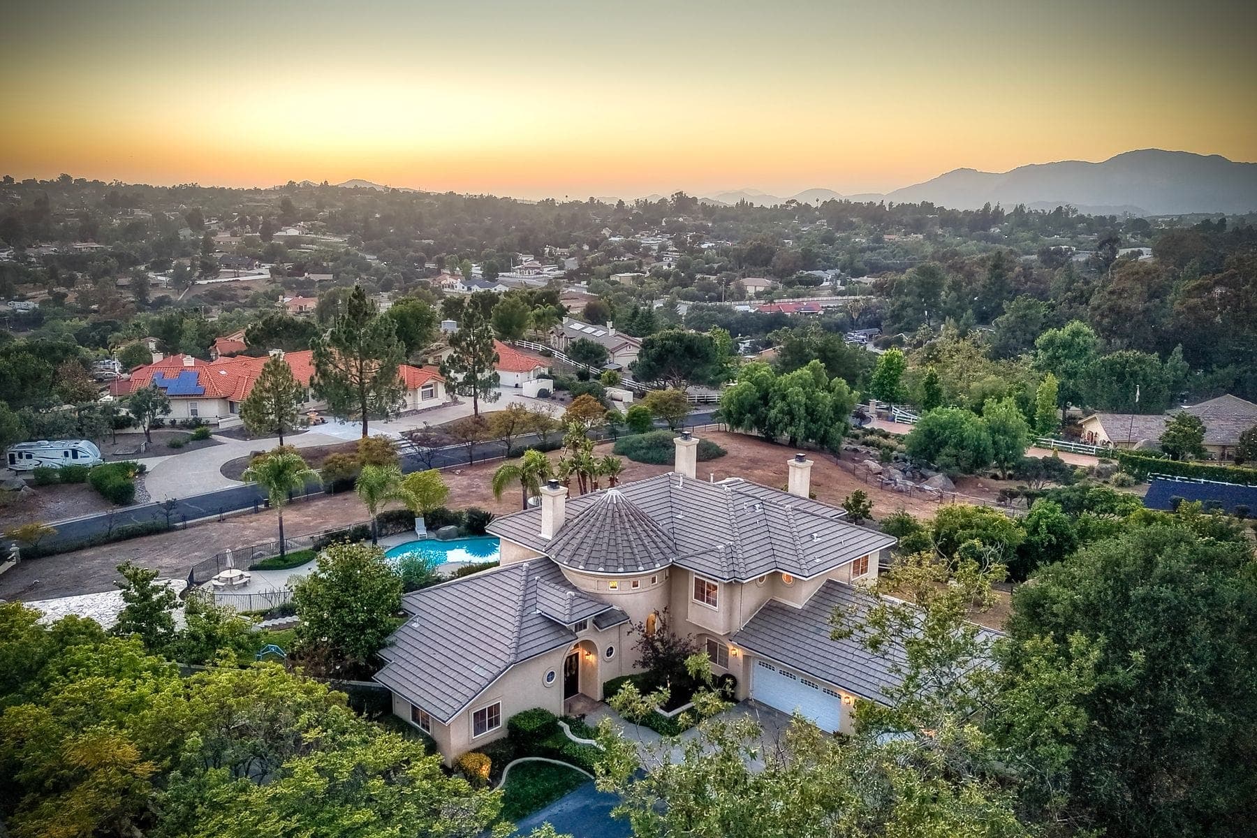
Golden Hour (7–9am and 5–7pm): Low-angle sunlight creates dramatic shadows and brings out texture in rooflines, pools, and landscaping. Properties photographed at golden hour consistently perform better in listing engagement metrics.
Wind Speed: Below 15 mph is ideal. Most professional drones can fly safely up to 25 mph, but shots taken in gusty conditions show micro-vibration that reduces sharpness. We monitor weather conditions the morning of every shoot and reschedule if necessary at no charge.
Marine Layer: San Diego's famous marine layer burns off by mid-morning most days, but it can persist. If your listing has ocean views, scheduling an afternoon session often yields clearer skies. We track marine layer forecasts for every coastal booking.
Overcast vs. Sunny: Overcast skies create even, shadow-free lighting that works beautifully for aerial neighborhood context shots. Direct sun is better for showcasing pools, outdoor living areas, and dramatic architectural details.
What to Expect from a Drone Session
A typical drone session for a single-family home takes 30–45 minutes. Here's what we capture:
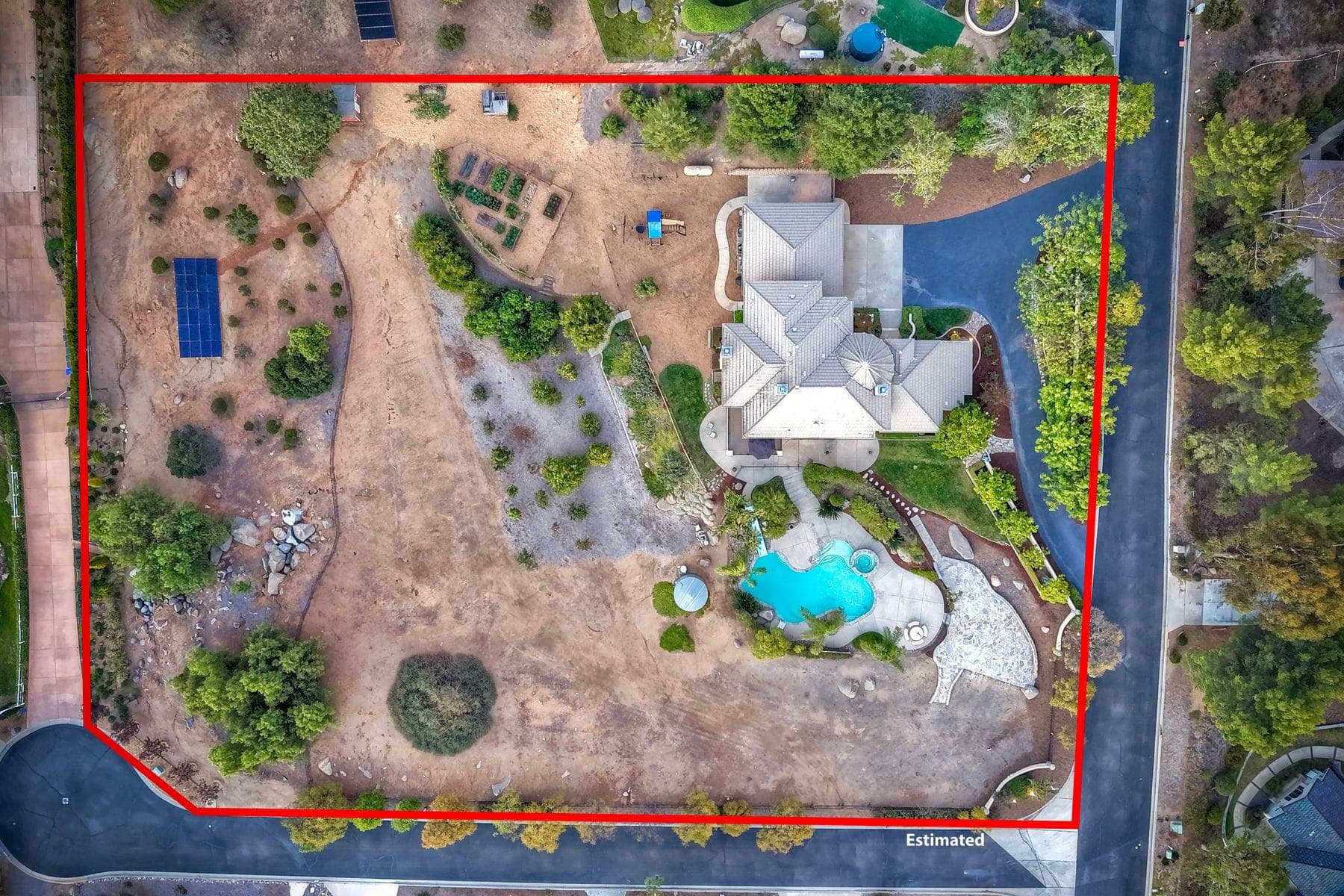
Exterior Establishing Shots: High-angle birds-eye views showing the full property footprint, lot size, and street position. We typically capture 4–6 of these at different altitudes and angles.
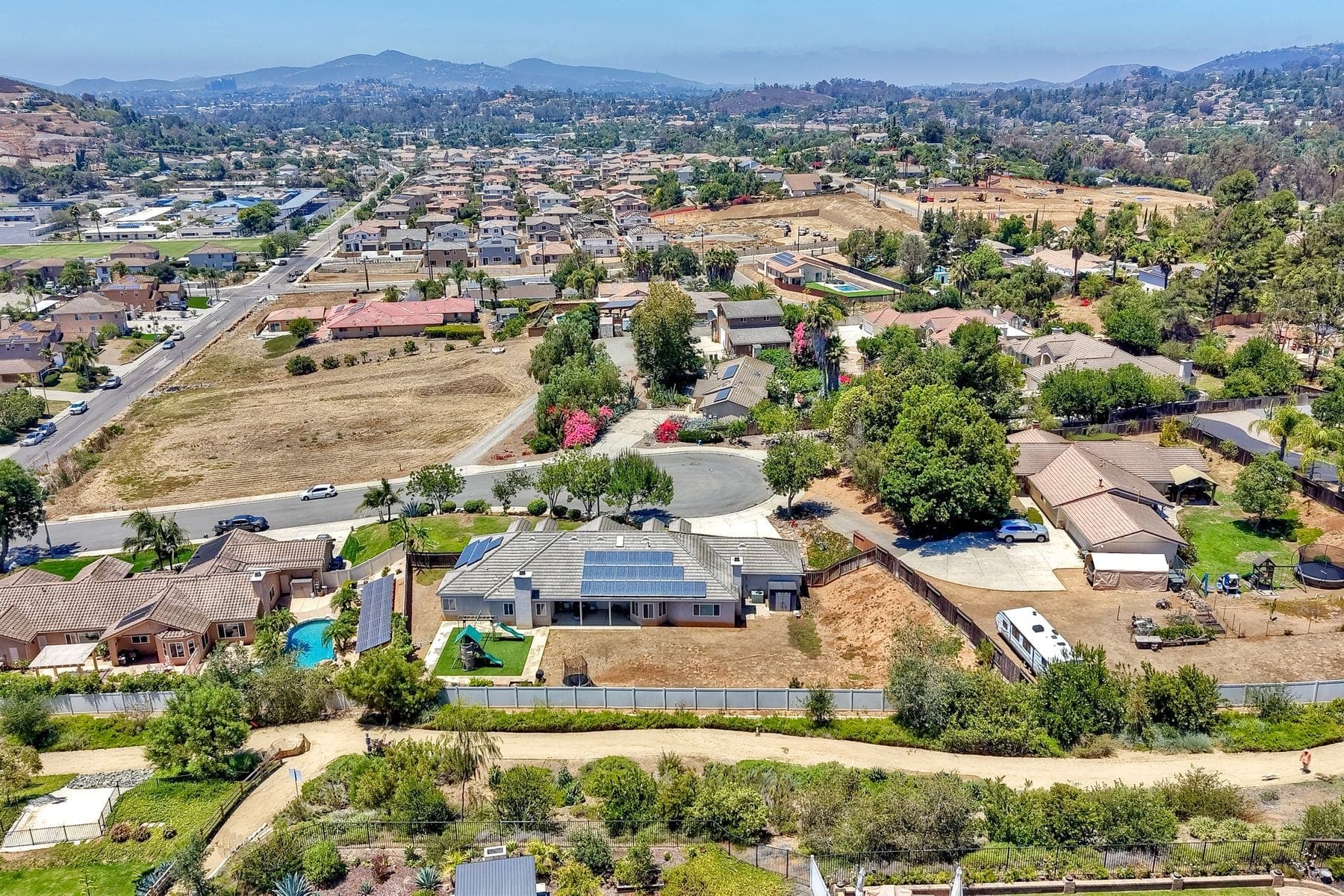
Neighborhood Context: Wider shots showing proximity to the coast, canyons, parks, or major landmarks. These shots answer the "where is this?" question that buyers ask before scheduling a showing.
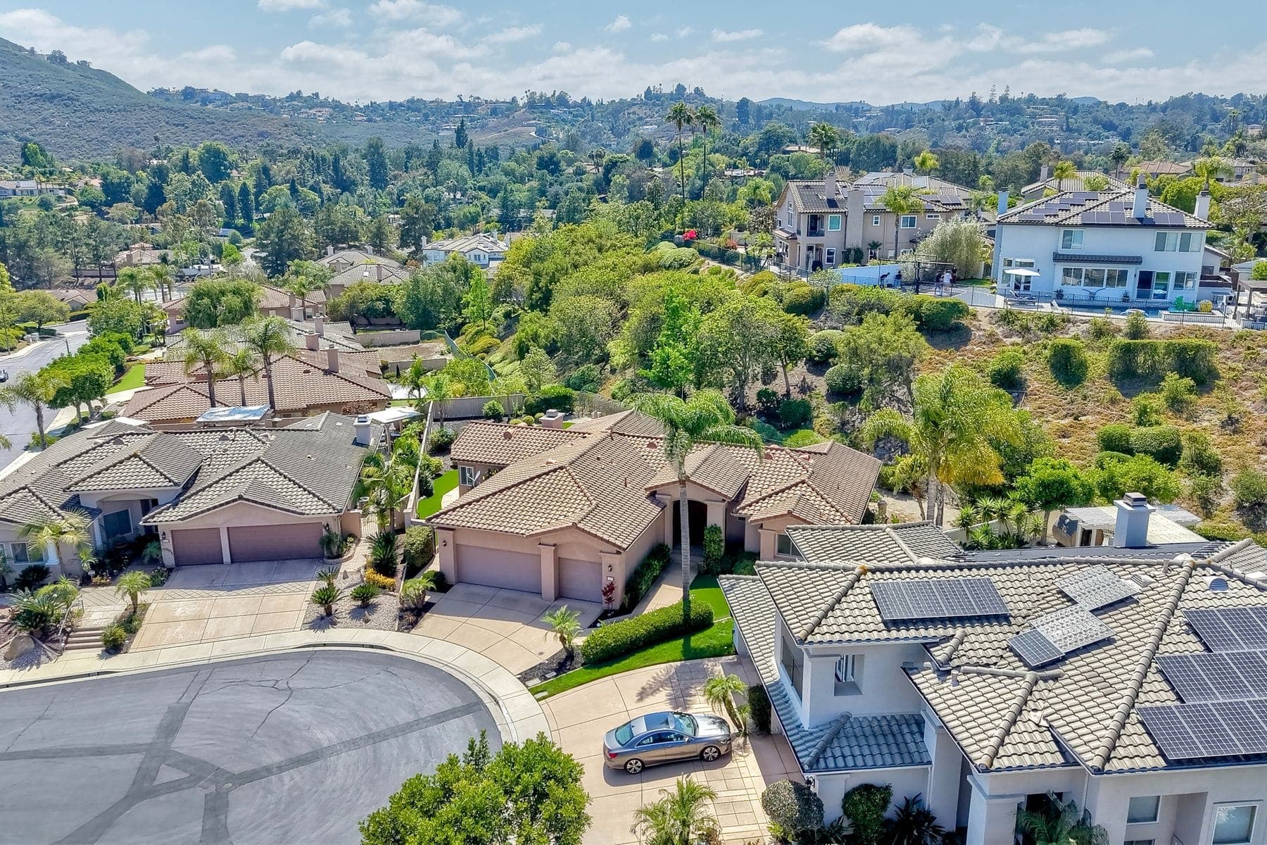
Aerials Approaching the Property: Low-altitude tracking shots approaching from the street that give buyers a sense of the driveway approach and curb appeal from a driver's perspective.
Backyard and Amenities: Overhead pool, outdoor kitchen, and yard shots that are impossible to capture from ground level.
Twilight Aerials (Add-On): Scheduled separately at dusk, these shots show properties with interior and exterior lighting glowing against a deep blue sky. They command disproportionate attention in listing feeds and social media.
Delivery is 24–48 hours after the session. You receive edited photos and/or a 60-second aerial reel cut to licensed music — ready to upload directly to MLS, Zillow, and your social channels.
The Data: How Aerial Photography Affects Listings
Industry research and MLS platform data point to consistent performance improvements for listings with aerial photography:
Listings with aerial photography tend to sell faster than comparable listings without it. The effect is most pronounced for properties with distinctive lot features — ocean or canyon views, large lots, pools, or corner positions.
Listings that include aerial photos in the first few images of the carousel can see meaningfully higher click-through on portals like Zillow and Realtor.com. Buyers use aerial shots to make neighborhood context decisions before they even view interior photos.
Properties at or above $1.5M see the strongest effect. In San Diego's luxury coastal markets — La Jolla, Del Mar, Rancho Santa Fe — aerial photography is now effectively a baseline expectation. Listings without it signal to buyers that the agent or seller may be cutting corners elsewhere.
For mid-market properties ($600k–$1.2M), drone photography adds a perceived value signal that helps listings stand out in competitive markets. When two otherwise similar townhomes are listed at the same price, the one with aerial context shots consistently generates more showing requests.
Bundling Drone with Photography
The most cost-effective way to use aerial photography is to bundle it with your standard photography session. Shooting both on the same day eliminates a second mobilization fee and ensures consistent lighting across all images.
Book photography and drone in the same shoot and our bundle discount applies automatically — 3% off both. For example, 25 photos ($185) plus 10 aerial photos ($225) comes to $398 instead of $410, all edited and delivered together. Add a third service, like a 3D tour or twilight photos, and the discount rises to 5% across the whole shoot.
One scheduling note: drone sessions are weather-dependent by nature. We build a weather window into every aerial booking and contact you the morning of the shoot to confirm conditions. If weather prevents flying, we reschedule at no charge and can often complete the aerial session the following morning while you still receive the ground photography on time.
Quick answers
- Do I need a licensed pilot for real estate drone photos?
- Drone operations for commercial purposes — which includes real estate photography — require FAA Part 107 certification. This is a written knowledge exam covering airspace classification, weather minimums, and safe operating procedures.
- How long does a drone session take?
- A typical drone session for a single-family home takes 30–45 minutes. Here's what we capture:
- What is the most cost-effective way to add drone photos?
- The most cost-effective way to use aerial photography is to bundle it with your standard photography session. Shooting both on the same day eliminates a second mobilization fee and ensures consistent lighting across all images.
Ready to add aerial?
Book drone photography for your next listing.