What to Do If Your Listing Is in Restricted Drone Airspace in San Diego
Most San Diego listings in controlled airspace can still be flown, because a licensed pilot can request FAA authorization, often within minutes. A smaller number of addresses, mainly near military bases and airport approach paths, can't be flown at all or only at a very low height. Check the address before you promise the seller aerials, and have a backup plan for the ones that can't be flown.
October 3, 20267 min read
By Tom Van Vechten · Updated
Is my listing in restricted airspace, or just controlled airspace?
These are different things, and the difference decides what happens next.
Type
What it means
Can it be flown?
Uncontrolled airspace
No airport nearby
Yes, under the normal rules
Controlled airspace
Near an airport such as San Diego International, Montgomery-Gibbs, McClellan-Palomar, or Gillespie
Usually, with FAA authorization, up to a set height for that spot
Zero-altitude grid
Controlled airspace very close to a runway or approach path
Not through the instant system. A longer FAA request may or may not be approved
Restricted or prohibited area
Military or security airspace
Generally no
Temporary flight restriction
A short-term closure for an event, a fire, or a VIP visit
Not until it lifts
San Diego has more of this than most counties. San Diego International sits next to downtown, Point Loma, and Mission Hills. MCAS Miramar covers a large area in the middle of the county. Naval Air Station North Island makes Coronado difficult. Camp Pendleton sits above Oceanside and Fallbrook. Our San Diego drone airspace guide maps these in more detail.
How do I check an address before the listing appointment?
The FAA publishes its airspace maps, and several free apps show them. The FAA lists approved providers on its B4UFLY page. Type in the address and look for two things: whether the property is inside controlled airspace, and the maximum height shown for that square of the map.
The quicker option is to ask your photographer. Send the address before you meet the seller. A licensed pilot can tell you in a few minutes whether it can be flown, to what height, and whether anything needs to be requested in advance. Our booking flow checks the address for you and tells you when a property needs authorization.
What is LAANC, and how long does authorization take?
LAANC is the FAA's system for approving drone flights in controlled airspace near many airports. The FAA explains it on its LAANC page. A certified pilot submits the location, the time, and the planned height through an approved app. If the request is at or below the height published for that spot, approval is usually automatic and close to instant.
Three limits matter to you:
The height is capped. Some areas allow 400 feet. Others allow 100 or 50. A low ceiling still works for most homes, but it limits wide neighborhood shots.
Zero means zero. Where the published height is zero, there is no instant approval. The pilot can file a longer request with the FAA, which can take weeks and may be denied.
Not every airport is in the system. Military airfields generally aren’t. Flying near them needs a different kind of permission, and it is often not available.
You still have ways to show the setting, and none of them involve breaking the rules.
Elevated ground shots. A camera on a tall pole, or a shot from a balcony, a roof deck, or a hill across the street, gives a raised view of the home with no aircraft involved.
Fly lower, where a low ceiling allows it. A 50-foot ceiling is enough for a shot from just above the roofline that shows the lot and the yard.
Photograph the view from the home. For a view property, the deck and the windows often tell the story better than an aerial.
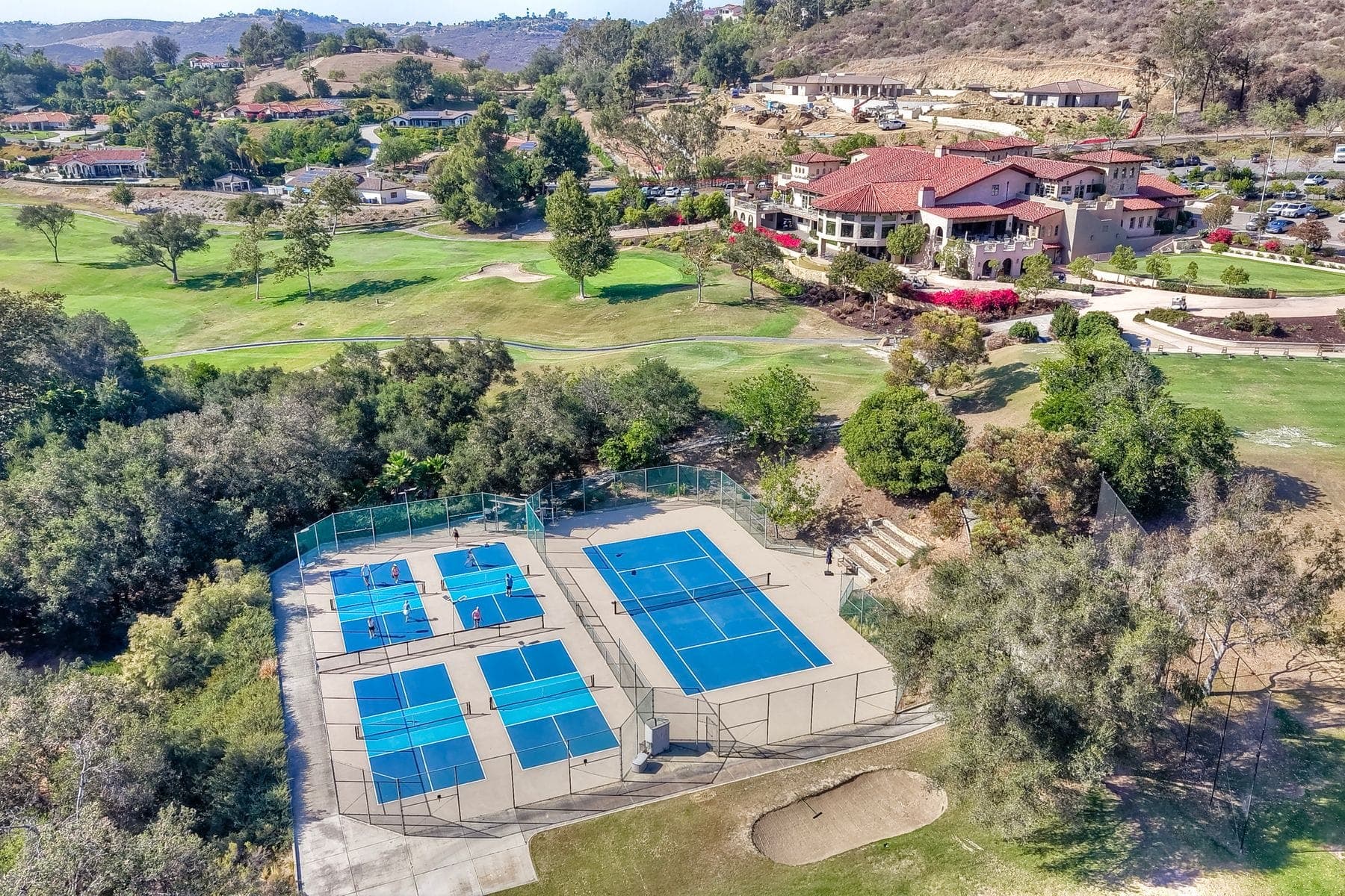
Community and amenity photos. Ground-level photos of the beach access, the park, or the clubhouse show what a buyer gets nearby.
A map graphic. A labeled map showing the distance to the beach, schools, and the freeway does part of what an aerial would.
A 3D tour and floor plan. These answer the layout questions that aerials never do.
When a home can’t be flown, the view from the deck often does the job. From an Oceanside shoot.
What should I never do?
Don’t hire someone who says they will fly it anyway. If they are willing to break airspace rules on your listing, their paperwork and insurance are also in doubt.
Don’t reuse aerials from an old listing unless you have the right to use them. See who owns listing photos.
Don’t use stock or map imagery as if it were a photo of the property.
This is a practical summary, not legal advice. Airspace changes, and temporary restrictions appear with little notice. The pilot is responsible for checking on the day of the flight.
What do I tell the seller?
Tell them before they ask. Sellers near the coast and the airport often expect drone photos, and they take it badly if the reason they don't get them comes after the shoot.
A simple script works: "Your home is inside controlled airspace. Our photographer has checked it. We can fly up to a set height," or, "This address can't be flown legally, so we are going to show the location with elevated shots and the view from the deck." That positions you as the agent who checked.
When the home can be flown, drone photos start at $175 and are included in all three of our packages. When it can't, we tell you before the shoot. Prices are on the pricing page, and examples are in the portfolio.
Frequently asked questions
Can you fly a drone near San Diego International Airport?
In many surrounding neighborhoods, yes, with FAA authorization and a height limit. Close to the runway and its approach paths, the published height is zero and flights are not approved through the instant system.
How long does drone authorization take?
Through LAANC, approval at or below the published height is usually close to instant. Requests above that height, or where the height is zero, go through a longer FAA process that can take weeks.
Can a drone fly in Coronado?
Coronado is one of the most restricted areas in the county because of Naval Air Station North Island. Many addresses can’t be flown. Check the specific address before promising aerials.
Does it cost extra to fly in controlled airspace?
Not with us. Requesting authorization is part of the job. If an address can’t be flown, we tell you before the shoot.
Who is responsible if a drone is flown illegally over my listing?
The pilot is responsible to the FAA for the flight. An illegal flight still creates a problem for the agent and the seller who used it, which is why you should only hire a certified, insured pilot.
Ready when your listing is
Book your shoot online in a few minutes. Photos are delivered the next day.