What Is LAANC? Drone Airspace Authorization for San Diego Listings, Explained
LAANC (Low Altitude Authorization and Notification Capability) is the FAA system that lets a drone pilot get near-instant authorization to fly in controlled airspace near airports, up to the altitude the FAA has set for each grid square. Much of San Diego sits in controlled airspace, so many listing flights need a LAANC authorization before takeoff. Where LAANC isn't available, such as around some military bases, the pilot has to request authorization through the FAA's DroneZone, which takes longer and can be denied.
General information, not legal advice. Rules change; confirm with the agency or an attorney before you rely on them. Read the full disclaimer.
November 8, 20268 min read
By Tom Van Vechten · Updated
What does LAANC actually do?
Airspace around airports is controlled, and a drone can't fly there without the FAA's permission. LAANC connects drone pilots, through FAA-approved apps, to the FAA's airspace data, so a request to fly at or below a set altitude in a given spot can be approved automatically, often in seconds. Before LAANC, the same request could take weeks.
LAANC is available to licensed Part 107 pilots and to recreational flyers. But any flight for a business purpose, including listing photos, requires a Part 107 remote pilot certificate regardless of how the airspace authorization is obtained. Our guide on Part 107 drone photographers explains the license.
What are UAS facility map altitudes?
The FAA divides the controlled airspace around each airport into grid squares and assigns each one a maximum altitude for drone authorization, from zero up to 400 feet. Close to a runway the number may be zero or very low; farther out it rises. A LAANC request at or below the grid altitude can be approved automatically. A request above it, or in a zero-altitude square, needs further review through DroneZone.
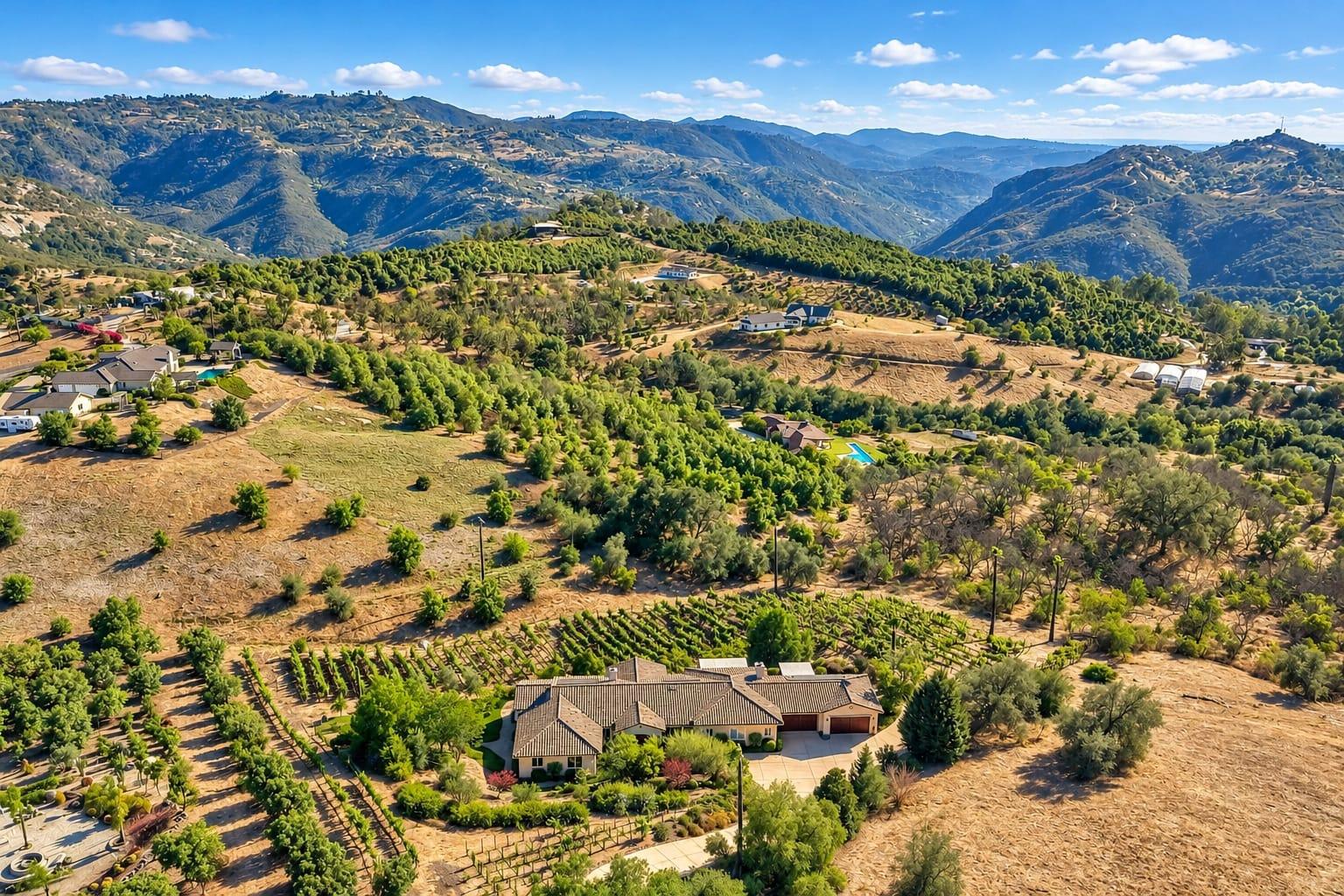
For listing photos, the grid altitude decides what the pilot can capture. A 100-foot ceiling may still allow good elevated exteriors; a zero ceiling means no flight without a separate approval.
Why does LAANC matter so much in San Diego?
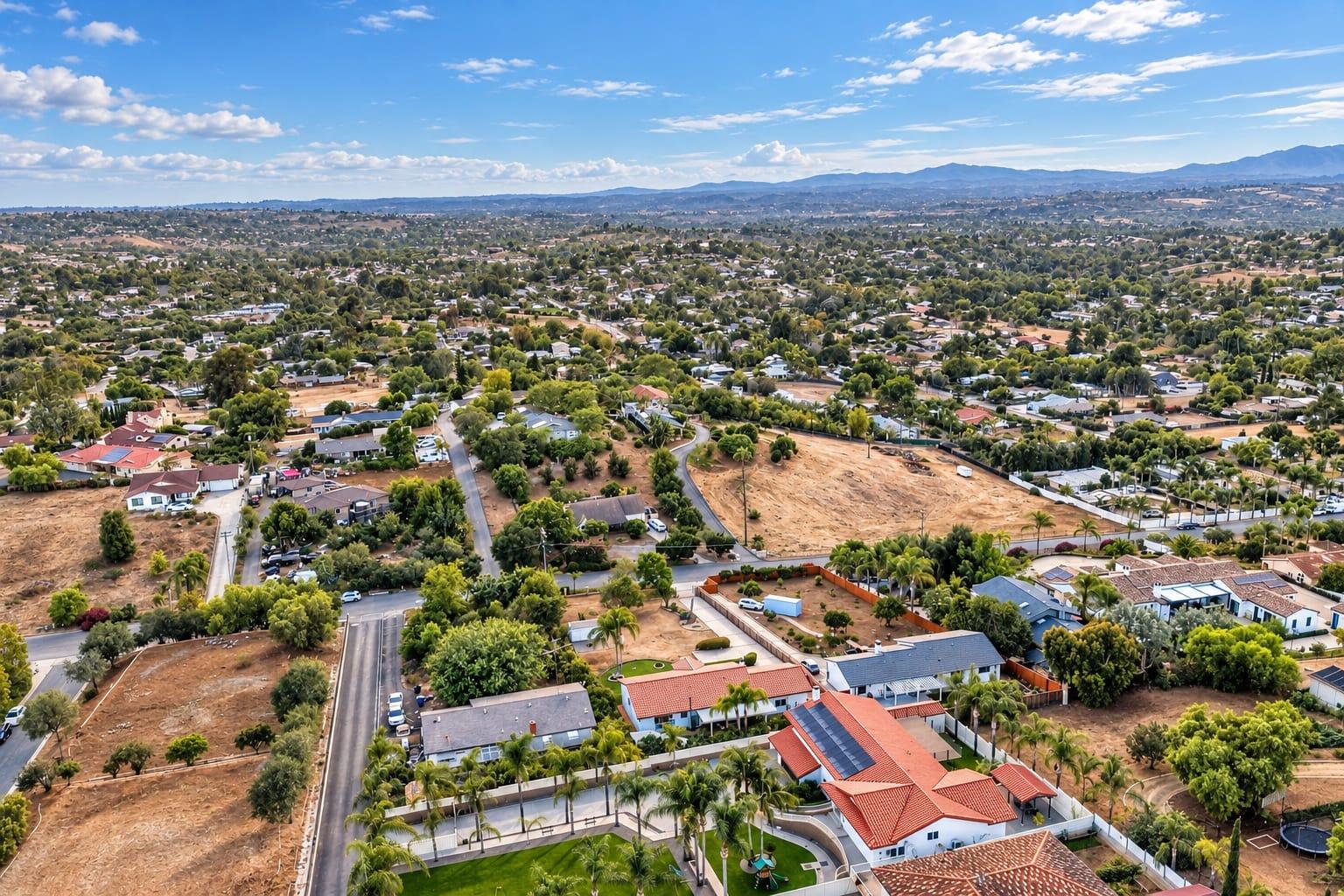
San Diego has an unusual amount of controlled airspace: San Diego International, Montgomery-Gibbs, Gillespie Field, McClellan-Palomar, Brown Field, and several military airfields, including MCAS Miramar, Naval Air Station North Island, and Camp Pendleton. Many coastal and central neighborhoods, where listings most benefit from aerials, sit inside one of these areas. Our San Diego drone airspace guide maps them.
Can LAANC be used near military bases?
Generally not. Military airfields are not usually part of LAANC, so addresses in their controlled airspace need an authorization request through FAA DroneZone instead. Those requests take longer, need more detail about the flight, and may be denied, especially close to active runways. Some areas over and around bases are also restricted outright. Plan aerials for listings near North Island, Miramar, or Camp Pendleton well ahead of the listing date, and be ready to market without them.
Look up the address on the FAA facility map and in a LAANC app.
Check for restricted areas, temporary flight restrictions, and local park or beach rules.
If the address is in controlled airspace, request LAANC authorization at or below the grid altitude.
If LAANC isn't available or the altitude is too low, file a DroneZone request well ahead of the shoot.
Recheck on the day of the shoot, since temporary flight restrictions can appear at short notice.
The LAANC altitude often shapes what an aerial can capture. A low ceiling may allow elevated exteriors but not the wide establishing shot, so the plan usually focuses on frames that work within the limit.
What else can stop a drone flight?
Temporary flight restrictions for VIP visits, major events, wildfires, and stadium events can close airspace at short notice. Some city and state parks, beaches, and reserves ban launching or landing drones. Weather matters too: strong coastal wind and the marine layer can ground a flight even when the airspace is clear. A good pilot checks all of it and tells you before the shoot.
What should agents ask a drone photographer about airspace?
Do you hold a Part 107 certificate and liability insurance?
Do you check every address before the shoot, and tell me if it can't be flown?
Will you request LAANC or DroneZone authorization yourself?
What happens to the price if the address can't be flown?
LAANC itself is free to use through FAA-approved apps, and a licensed pilot normally handles it as part of the shoot. With us, drone photos start at $195, and every address is checked for airspace before the shoot. If an address can't be flown, we tell you before the shoot day.
Does LAANC cover twilight and night flights?
Flying at night under Part 107 has its own requirements, including anti-collision lighting on the drone, and the airspace authorization has to cover the time of the flight. For a twilight aerial in controlled airspace, the pilot requests authorization for the evening window, not just the daytime shoot. Plan dusk aerials as a separate, specific request, and confirm with your pilot that they can fly at that time.
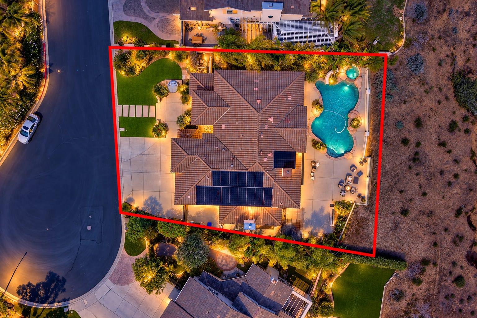
Twilight aerials in controlled airspace need an authorization that covers the evening window, so they're usually planned as a separate request, timed around sunset.
Frequently asked questions
What does LAANC stand for?
Low Altitude Authorization and Notification Capability, the FAA system for near-real-time drone authorization in controlled airspace.
Is LAANC available everywhere in San Diego?
No. It covers controlled airspace around participating airports. Military airfields generally require a DroneZone request instead.
How long does LAANC approval take?
Requests at or below the facility map altitude are often approved in seconds. Requests above it go through further review.
Can recreational flyers use LAANC?
Yes, but a flight for a business purpose, such as listing photos, requires a Part 107 certificate.
Does LAANC cost anything?
No. It is free through FAA-approved apps, and a licensed pilot handles it as part of the shoot.
What happens if an address can't be flown?
The pilot tells you before the shoot. The listing can still use ground-level exteriors, a twilight cover, and neighborhood photos to show the setting.
Does LAANC approval mean the flight is always safe to do?
No. It covers the airspace only. The pilot still checks weather, temporary restrictions, local launch rules, and people on the ground.
Ready when your listing is
Book your shoot online in a few minutes. Photos are delivered the next day.