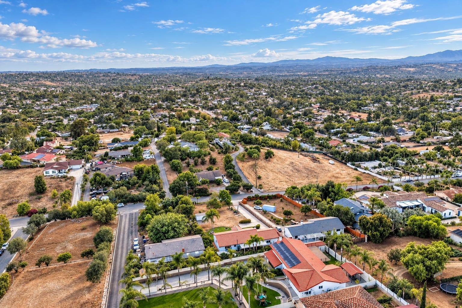
How Much Does Real Estate Drone Photography Cost in San Diego? 2026 Prices
Real estate drone photography in San Diego is usually priced as an add-on to a listing shoot, by the number of aerial photos and whether you add video. Published San Diego County drone video runs about $295, and with us a 30-second aerial video is $195. Drone photos are $195 for five, $245 for ten, and $275 for fifteen, and every address is checked for airspace before the shoot.
General information, not legal advice. Rules change; confirm with the agency or an attorney before you rely on them. Read the full disclaimer.
November 7, 20267 min read
By Tom Van Vechten · Updated
What do San Diego photographers charge for drone photos?
Published rates from San Diego County real estate photographers and directories, checked November 2026.
Service
San Diego County published rates
Turnkey Media
Aerial video
About $295
30-second $195
Aerial photos
Priced by photo count
5 photos $195, 10 photos $245, 15 photos $275
Most agents add drone to a listing shoot rather than booking it alone. Our packages include drone photos where the airspace allows.
What drives the price of drone photography?
Number of photos
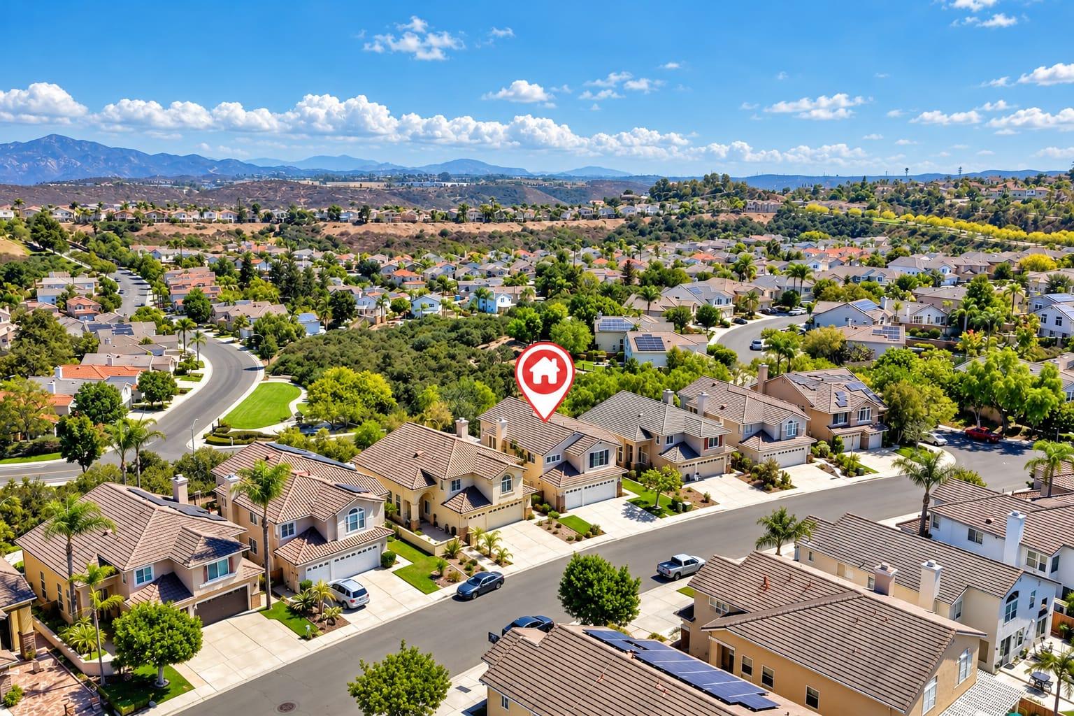
Five aerials cover most homes: the front, the back, an overhead, and two context shots. Large lots, view properties, and acreage need more.
Video
Aerial video takes more flight time and editing than stills, so it costs more.
Airspace
Addresses near San Diego International, Montgomery-Gibbs, Gillespie Field, McClellan-Palomar, North Island, Miramar, or Camp Pendleton may need authorization. A licensed pilot usually gets it at no extra charge, but some addresses can't be flown at all.
Twilight
Dusk aerials mean flying in a short window after sunset, often with extra authorization, so they cost more than daytime flights.
When is drone photography worth it for a listing?
Location is a selling point: near the beach, a park, a golf course, or a village center.
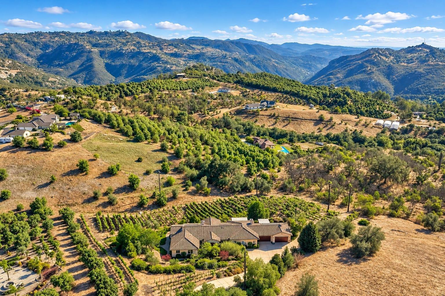
The lot is big: acreage in Ramona or Valley Center, or a large flat yard.
There's a view: ocean, canyon, or city lights.
The outdoor living is special: a pool, an outdoor kitchen, a sport court.
The roof or solar is new, and buyers will ask.
Aerials also help buyers who are relocating, because they show the neighborhood, the street, and the distance to amenities in a way ground photos can't. For a condo in a high-rise, or a home on a tight lot with nothing special around it, ground photos may be enough. Our drone and aerial photography guide covers what aerials show best.
Can every San Diego address be flown?
No. San Diego has more controlled and restricted airspace than most cities, especially along the coast and near the military bases. Many addresses can be flown with authorization requested through the FAA's automated system; some can't be flown at all, and the answer can change for special events. Check before you promise a seller aerials. Our San Diego drone airspace guide maps the areas, and our restricted airspace guide covers the alternatives.
In San Diego, the airspace check often changes the drone plan. An address near an airport may allow only a low altitude, and some addresses near military bases can't be flown at all. In those cases, elevated ground shots, a twilight exterior, and neighborhood photos can fill the gap.
Does a real estate drone pilot need a license?
Yes. Any commercial drone flight in the US, including listing photos, requires an FAA Part 107 remote pilot certificate. A pilot flying your listing without one is breaking FAA rules, whatever the airspace, and the risk lands on you and the seller. Ask for the certificate and proof of insurance. Our guide to whether you need a licensed drone pilot explains what to check.
Which aerial shots should a listing include?
The front of the home from a low angle, showing the facade and the street
The back of the home with the yard and outdoor living
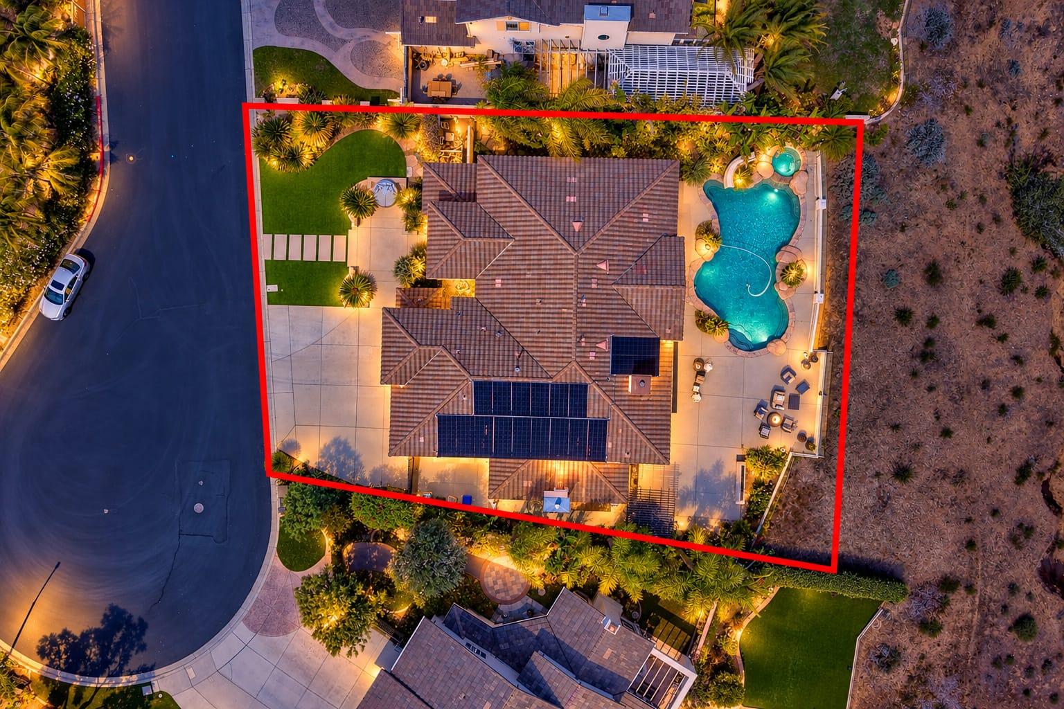
A straight-down view of the lot
A high view showing the neighborhood and the nearest landmark
A view shot toward the ocean, canyon, or skyline, if there is one
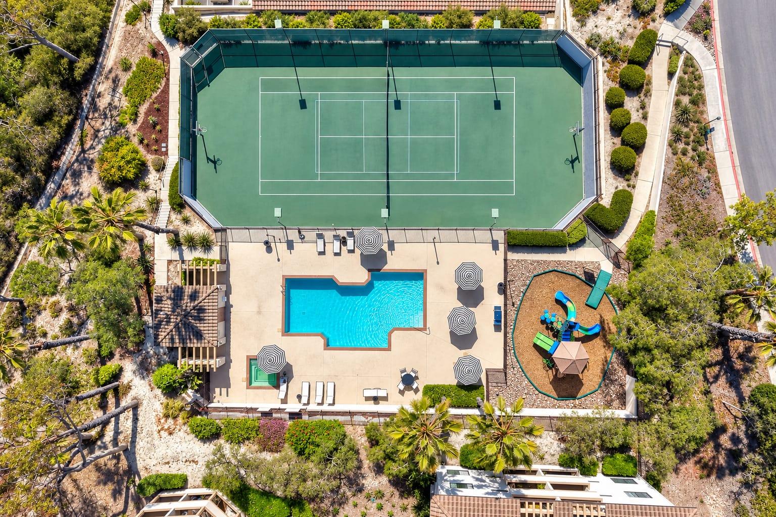
Nearby amenities like a community pool are worth an aerial or ground frame when they help sell the home.
Should you choose aerial photos or aerial video?
Photos go on the MLS and the portals, where most buyers look. Video works on social media, your website, and listing pages that support it, and it gives a sense of movement: rising over the house to reveal the view, or tracking along the coast. For most listings, aerial photos come first. Add video when the setting is the story, such as a beach house, a view property, or acreage.
See aerial video for our 30- and 60-second options. A short aerial clip also works well as the opening of a listing slideshow or a social post announcing the listing.
Is drone cheaper as part of a package?
Usually. A drone flight added to a listing shoot costs less than booking a pilot separately, because the photographer is already on site. Our listing packages include drone photos where the airspace allows, and building your own shoot with several services earns a bundle discount. Compare the package price against adding drone separately before you book. See the pricing page for current packages.
How should agents compare drone quotes?
How many finished aerial photos are included?
Is the pilot Part 107 certified and insured?
Who checks the airspace, and when?
Is the drone flown on the same visit as the photos?
What happens if the address can't be flown?
Are aerials delivered with the rest of the photos?
After seeing their first aerial set, agents most often ask for a top-down frame of the lot and a wider shot that shows the home's location relative to the beach, a park, or the village.
Frequently asked questions
How much does real estate drone photography cost in San Diego?
Published San Diego County drone video runs about $295. With us, five drone photos are $195, ten are $245, and a 30-second aerial video is $195.
Is drone photography included in listing packages?
Often, where the airspace allows. Our packages include drone photos.
Can you fly a drone anywhere in San Diego?
No. Many coastal and base-adjacent addresses need authorization, and some cannot be flown. We check every address first.
How many drone photos does a listing need?
Five covers most homes. Large lots, view homes, and acreage benefit from ten or more.
Does my drone pilot need a license?
Yes, an FAA Part 107 certificate for any commercial flight.
Is drone video worth it for a listing?
For homes where the lot, the view, or the location sells the property, often yes. A short aerial video shows the approach and the setting in a way still photos cannot, and it gives you content for social media.
Ready when your listing is
Book your shoot online in a few minutes. Photos are delivered the next day.