
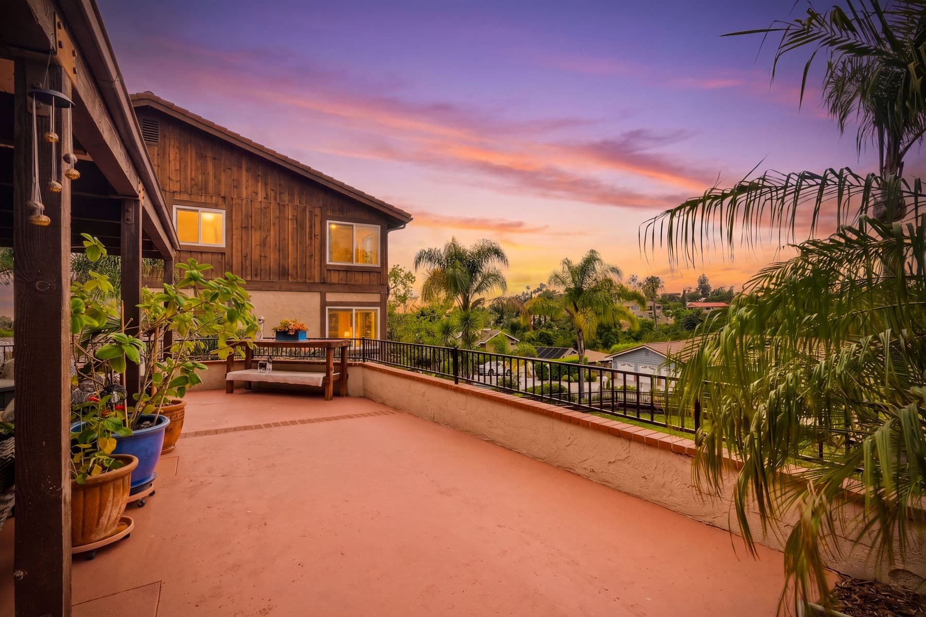
Lakeside Real Estate Photographer
Lakeside acreage, proven from the air.
Horse properties, arenas, and foothill lots in the Cuyamaca foothills — where the parcel is the product and only a drone can show it. Lakeside is horse country in the Cuyamaca foothills — equestrian-zoned lots and acreage alongside conventional tracts. Buyers are shopping the land as much as the house, so the drone establishing the full parcel, the arenas, and the barns is the frame that does the actual selling.
No travel fee — Lakeside is inside our free service area.
More from your Lakeside real estate photographer: pricing, drone real estate photography, ANSI floor plans, or the Turnkey Media home page.
Ranch & equestrian specialists
Standard turnaround
Part 107 certified drone team
Time to book
The Lakeside market
Why presentation
wins here.
Lakeside is rural-ranch East County with strong owner-occupancy — horse properties, equestrian-zoned lots, and acreage in the Cuyamaca foothills sitting alongside conventional suburban tracts. Buyers here are shopping the land as much as the house: how many usable acres, whether the arena and barn are real or aspirational, and what the trail access looks like. A listing gallery that only covers rooms leaves the actual product undocumented.
What sets Lakeside apart on camera
Rural-ranch East County with equestrian zoning wants full-parcel establishing aerials, El Cajon Mountain and reservoir backdrops, and equestrian detail — fence lines, footing, trails, tack rooms.
Neighborhoods we shoot in Lakeside
Our work in Lakeside
We shoot Lakeside land-first. Drone work establishes the full parcel — acreage, arenas, barns, and outbuildings that the listing copy claims and the photos need to prove — with El Cajon Mountain and the reservoirs as backdrop behind hillside homes. Then we cover the equestrian detail that horse buyers actually evaluate: fence lines, footing, trail access, and tack rooms.
View our portfolioEverything your listing needs.
Photography
Professional HDR real estate photography with same-day editing, MLS-ready exports, and print-resolution files delivered next day.
Aerial Photography
FAA Part 107 certified pilots delivering legal, publish-ready aerial photography and video.
3D Virtual Tours
Two options: immersive iGUIDE tours with an accurate floor plan for the MLS, and Zillow 3D Home tours (Ricoh Theta Z1) for native Zillow display and Zillow Showcase.
Photo-to-Video
Your listing photos animated into a captioned motion video — subtle pans, transitions, and music. Choose a 30- or 60-second cut. No extra shoot time.
Specialized for Lakeside
Common questions
answered.
Do you photograph horse properties in Lakeside?
Yes — it is a core part of what we shoot here. Equestrian buyers evaluate specifics: stall count and condition, arena size and footing, turnout, trailer access, and where the trails connect. We shoot those as deliberately as we shoot the kitchen, because for this buyer they carry as much weight.
How much does real estate photography cost in Lakeside?
Photography starts at $225 for homes under 1,500 sq ft. Larger homes are $275 (1,500–3,000 sq ft), $335 (3,000–5,000), and $395 (5,000+), and every shoot is full coverage with no photo caps. Drone aerials start at $195 and are strongly recommended on any acreage listing here. 3D tours from $225, expedited delivery $145.
Why does acreage need aerial coverage?
Because a ground photo cannot answer the buyer's first question: how much land is this, and how does it lie? A perimeter flight shows the parcel boundary, the usable versus steep ground, and where the outbuildings sit relative to the house. On a Lakeside ranch listing it is usually the hero frame, not an add-on.
Is drone coverage available across Lakeside?
Yes. Gillespie Field's (SEE) Class D airspace reaches into Lakeside, so many addresses need a LAANC authorization — our FAA Part 107 pilots file it in advance at no extra charge and confirm the approved ceiling for the specific parcel.
From the guides
Guides for Lakeside listing agents
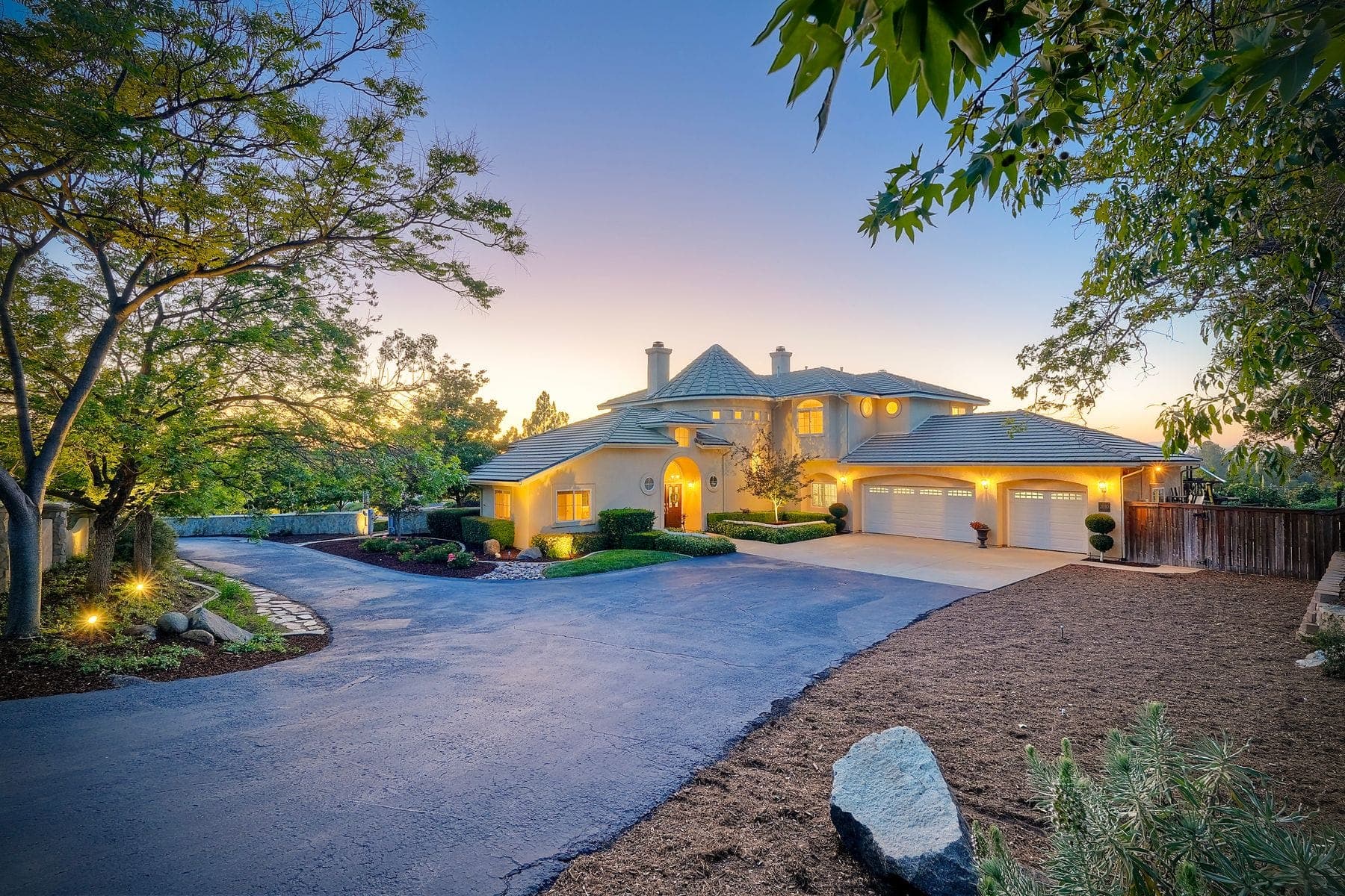
How Much Does Real Estate Photography Cost in San Diego? The 2026 Price Guide
What San Diego agents actually pay for listing photos, drone, 3D tours, and packages in 2026, what drives the price, what should be included, and the fees to ask about before you book.
Read guide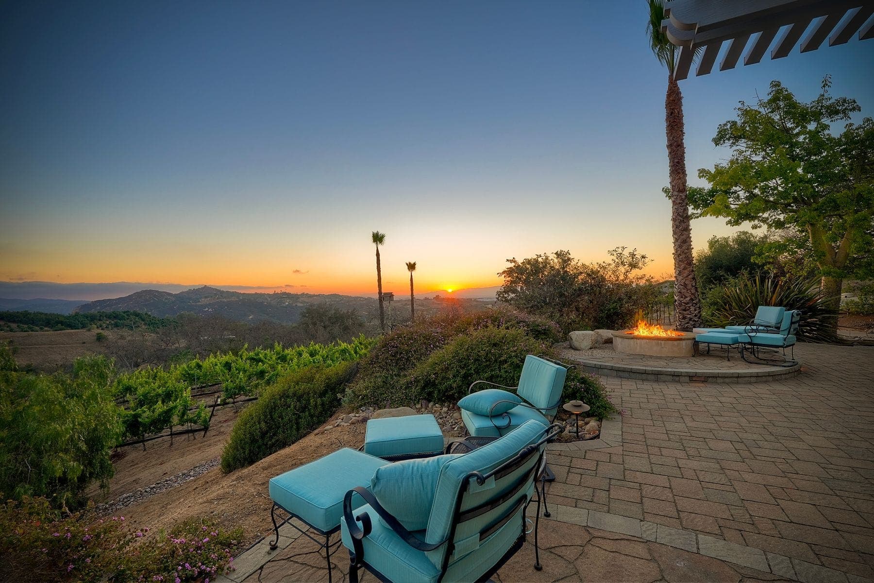
Best Time of Day to Photograph a San Diego Listing: Marine Layer, West-Facing Views, and Twilight Timing
How to pick a shoot time for a San Diego listing: which way the home faces, when the coastal marine layer clears, how to time a west-facing view, and when twilight actually happens.
Read guide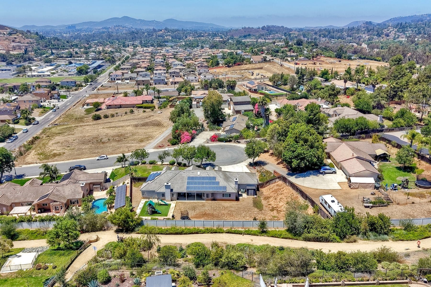
What to Do If Your Listing Is in Restricted Drone Airspace in San Diego
How to find out whether a San Diego listing can be flown, what LAANC authorization does and doesn’t cover, and what to use for aerial context when a drone can’t legally fly.
Read guideReady to book in Lakeside?
Book online in under 5 minutes. Receive your prep checklist and calendar invite immediately. Delivered next day.